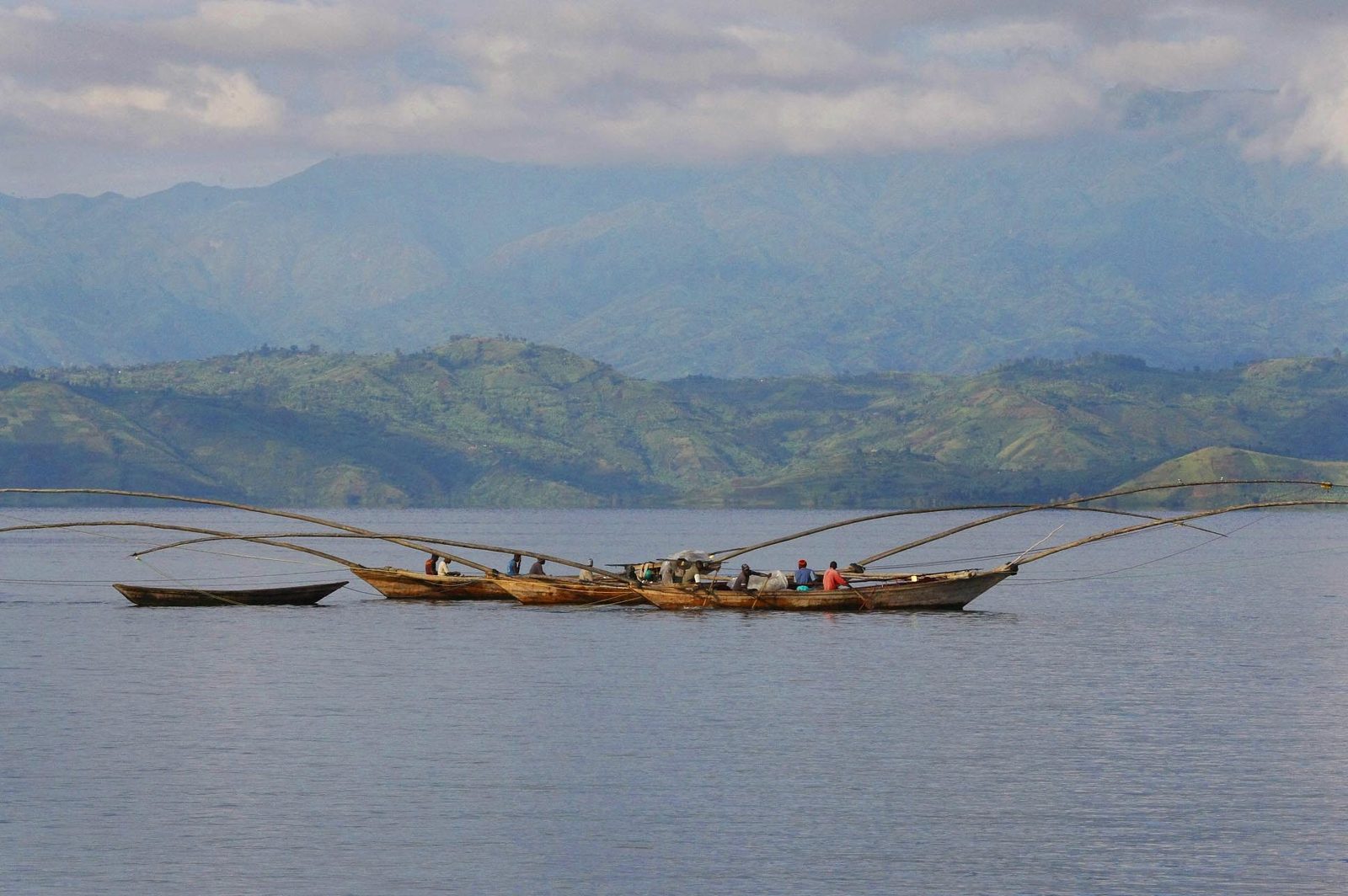
Fishermen in traditional boats on Lake Kivu beneath green hills, eastern Congo

Flows

Thirteen ways material leaves the Kivus

Thirty-five sampled mine sites in six mining areas of North and South Kivu produce gold, tin, tantalum and tungsten. By mineral, area, scale, processing and routing they resolve into thirteen distinct flows. Every one of them leaves the country through the same two crossings into Rwanda. These are the channels our gate-and-plant model is built to replace.

The picture in one map

Two corridors carry everything

All thirteen flows converge on two international exit corridors: the Goma crossings into Rubavu for North Kivu material, and the Ruzizi bridges from Bukavu into Rusizi for South Kivu material. From Rwanda, tin and tantalum consolidate through facilities in the Kigali area and gold through Kigali gold-buying houses and a refinery there. Tantalum alone travels on by air and sea freight to processors in Asia and Central Asia.

The site data behind these maps come from independent mine-site visits between 2017 and 2025, mostly in 2021 and 2022, with area-level updates on who controls the ground, whether industry traceability tagging is running and which facilities have been sanctioned, drawn from public reporting through mid-2026. Sites are grouped by mineral, mining area, type and scale of working, processing method and downstream routing.

No sampled site is documented as sending material toward Uganda, Burundi or a domestic Congolese refining or export point. The flows differ in what is dug, how deep, whether mercury is used and who holds the ground. They do not differ in where the material goes.

All thirteen flows: six mining areas in North and South Kivu converge on the Goma crossings and the Ruzizi bridges, then Kigali; tantalum continues to processors in Asia. NORTH KIVU SOUTH KIVU RWANDA BURUNDI UGANDA MANIEMA TANZANIA Lake Kivu Lake Tanganyika Kahuzi-Biega National Park Masisi Walungu Uvira Tantalum only: air and sea freight to processors in China and Kazakhstan Twangiza Mwenga · Luhwindja · 1 flow Kaziba depot Nzibira Walungu · South Kivu · 4 flows Luhihi Kabare · South Kivu · 1 flow Katasomwa Kalehe · Kahuzi-Biega edge · 1 flow Nyabibwe Kalehe · South Kivu · 3 flows Rubaya / Bibatama Masisi · North Kivu · 3 flows Bukavu South Kivu · 10 flows Goma North Kivu · 3 flows Ruzizi I / II bridges Bukavu–Rusizi crossings Petite / Grande Barrière Goma–Rubavu crossings Kigali All 13 flows · tin smelter · gold refinery · 3T trade All thirteen flows · North and South Kivu Two corridors carry everything Six mining areas → Goma or Bukavu → two border crossings → Kigali Mining area (six) Depot Provincial city Border crossing Kigali consolidation Routes, width by number of flows Onward export (tantalum) 50 km
Flow 1: Rubaya coltan. Route Rubaya → Goma → Rubavu → Kigali → Asia. Map of North and South Kivu with the route from the mining area to Kigali. NORTH KIVU SOUTH KIVU RWANDA BURUNDI UGANDA Lake Kivu Kahuzi-Biega National Park Masisi Walungu Uvira Nyabibwe Katasomwa Luhihi Nzibira Twangiza Air and sea freight to tantalum processors in China and Kazakhstan Rubaya / Bibatama Masisi · North Kivu Goma North Kivu Petite / Grande Barrière Goma–Rubavu crossings Kigali Consolidation · onward export Flow 01 · North Kivu · Masisi Rubaya coltan Rubaya → Goma → Rubavu → Kigali → Asia Mining area in this flow Other sampled areas Provincial city Border crossing Kigali consolidation Route of the material Onward export 50 km

Flow 01 · North Kivu · Masisi

Rubaya coltan

Tantalum and niobium from the Rubaya / Bibatama complex

Minerals
Ta / Nb (+Sn)
Mining area
Rubaya / Bibatama mining complex
Miners per site
15–2,000
Mechanisation
Artisanal to semi-mechanised
Chemical processing
None (physical only)
End node
Tantalum processors in China and Kazakhstan

Mining method

Artisanal eluvial and alluvial pit digging on weathered pegmatite, the classic Rubaya coltan geology. Miners dig shallow pits, 0–27 m, by hand with picks, shovels and hoes. Some sites report semi-mechanised status, with small water pumps feeding on-site washing plants (sluice boxes and jigs). No blasting or mechanised earth-moving is recorded at any site in this flow.

Scale and equipment

A wide range, from micro-sites of 15–50 workers up to Gakombe's 2,000. Gakombe alone is credited with a meaningful share of the roughly 1,000 tonnes a year of coltan the wider Rubaya area produces, which current reporting puts above 15% of world tantalum supply. Equipment is hand tools, machetes for the pegmatite, gravity sluices and hand-pumped water at the larger semi-mechanised sites. No crushers and no chemical reagents.

Processing

Physical concentration only. Washing, panning and gravity separation raise run-of-mine pegmatite to a columbite-tantalite pre-concentrate of roughly 20–40% Ta₂O₅, consistent with typical Congolese pre-concentrate grades. Export-grade Great Lakes coltan concentrate typically reaches 25–30% Ta₂O₅ after further consolidation.

Transport

Head-load or porterage, then motorbike or light vehicle to a nearby road head, typically under two hours even in the wet season given Rubaya's relatively developed local roads. Material is sold at the mine-mouth trading centres of Rubaya town or smaller satellite depots (Kibabi, Karuba), then moves about 40 km by road to Goma and crosses into Rwanda at the Petite Barrière (pedestrian and motorbike, the higher-volume small-trade post) or the Grande Barrière (vehicle) posts between Goma and Rubavu.

Downstream

Material is consolidated at a Kigali-area node and exported onward to Asia. Historically the destination was a processor in Thailand; public reporting for 2025–2026 points to tantalum processors in Shizuishan (Ningxia) and Jiujiang (Jiangxi) in China, and to the Ulba Metallurgical Plant in Kazakhstan. The end products are refined tantalum metal powder, tantalum oxide and capacitor-grade tantalum. By that stage the material has lost every marker of its Congolese origin unless a supply-chain due-diligence record travelled with it.

Governance context

Masisi was declared a formal red zone in February 2025, with a six-month extraction and sales ban. The M23 / AFC movement has controlled Rubaya since 30 April 2024. Pit collapses in January and March 2026 killed more than 600 people. Some sites have shifted from an earlier green or yellow validation status to red, not validated, in late-2025 revisits, reflecting the collapse of formal traceability under armed-group control.

Sampled sites (workers)

  • Gakombe 2,000
  • Mutanga 95
  • Kavuta 50
  • Kahenerezo 50
  • Kashaki 45 · tin-primary
  • Kalindi 35
  • Kiluku 15
Flow 2: Rubaya cassiterite. Route Rubaya → Goma → Rubavu → Kigali. Map of North and South Kivu with the route from the mining area to Kigali. NORTH KIVU SOUTH KIVU RWANDA BURUNDI UGANDA Lake Kivu Kahuzi-Biega National Park Masisi Walungu Uvira Nyabibwe Katasomwa Luhihi Nzibira Twangiza Rubaya / Bibatama Masisi · North Kivu Goma North Kivu Petite / Grande Barrière Goma–Rubavu crossings Kigali Tin smelting · Kigali Flow 02 · North Kivu · Masisi Rubaya cassiterite Rubaya → Goma → Rubavu → Kigali Mining area in this flow Other sampled areas Provincial city Border crossing Kigali consolidation Route of the material 50 km

Flow 02 · North Kivu · Masisi

Rubaya cassiterite

Tin as a co-product of the Rubaya coltan trade

Minerals
Sn (+Ta)
Mining area
Rubaya / Bibatama mining complex
Miners per site
16–1,020
Mechanisation
Semi-mechanised
Chemical processing
None
End node
Tin smelter, Kigali

Mining method

Alluvial, eluvial and tailings-reworking pits, plus some vein and tunnel workings up to 27 m deep. Semi-mechanised: small pumps and sluice or washing plants supplement hand digging. A mining cooperative is present at essentially every site, giving basic organisational structure to otherwise informal digging.

Scale and equipment

Medium to large, from 16 up to 1,020 workers at the largest site, Nyagisenyi, reflecting cassiterite's status as a co-product alongside the area's primary coltan output. Hand tools plus pump-fed washing and jigging equipment at the semi-mechanised sites. No crushers and no chemical reagents recorded.

Processing

Physical concentration only, by hand crushing, washing and panning, to a cassiterite concentrate of roughly 65% tin, the standard Congolese artisanal export grade. International tin concentrate trade runs at 65–75% tin; below 60% it trades at a discount to spot.

Transport

The same corridor as the coltan flow: porterage or motorbike to Rubaya town or a satellite depot (Ngungu, Luwowo), road to Goma, then the Petite Barrière or Grande Barrière crossings into Rwanda.

Downstream

Public reporting links Rubaya cassiterite to consolidation in Kigali and to tin smelting in the Karuruma / Jabana industrial area of Gasabo District, home to one of the region's principal tin smelters. The end product is refined tin ingots for the international solder, electronics and packaging market.

Governance context

Shares the Rubaya context: the red-zone declaration for Masisi in February 2025, M23 / AFC control of Rubaya since April 2024, and the loss of validated status at some revisited sites in the complex.

Sampled sites (workers)

  • Nyagisenyi 1,020
  • Luwowo / Gasasa 519
  • Rukaza 300
  • Mufunzi 40
  • Katembe 26
  • Bishasha 20
  • Bihula 2 20
  • Mufunzi / Rutarishongo 16
Flow 3: Rubaya wolframite. Route Rubaya → Goma → Rubavu → Kigali. Map of North and South Kivu with the route from the mining area to Kigali. NORTH KIVU SOUTH KIVU RWANDA BURUNDI UGANDA Lake Kivu Kahuzi-Biega National Park Masisi Walungu Uvira Nyabibwe Katasomwa Luhihi Nzibira Twangiza Rubaya / Bibatama Masisi · North Kivu Goma North Kivu Petite / Grande Barrière Goma–Rubavu crossings Kigali 3T trade consolidation Flow 03 · North Kivu · Masisi Rubaya wolframite Rubaya → Goma → Rubavu → Kigali Mining area in this flow Other sampled areas Provincial city Border crossing Kigali consolidation Route of the material 50 km

Flow 03 · North Kivu · Masisi

Rubaya wolframite

A minor tungsten output beside the coltan and tin

Minerals
W (+Sn)
Mining area
Rubaya / Bibatama mining complex
Miners per site
20–26
Mechanisation
Artisanal
Chemical processing
None
End node
Regional 3T traders, Kigali

What it is

Wolframite is a minor secondary output of the Rubaya / Bibatama complex compared with its primary coltan and cassiterite. Two sampled sites carry it: Bishasha as the primary mineral, Katembe alongside tin.

Mining and transport

Artisanal to semi-mechanised eluvial and vein pits worked with hand tools, identical in method and routing to the two flows above: porterage to Rubaya or Ngungu, road to Goma, then the Goma–Rubavu crossings.

Processing

Processed to a wolframite concentrate of roughly 60% WO₃ (the mineral's theoretical maximum is about 76.5%).

Downstream

No dedicated downstream refining node is documented for this small volume. It consolidates with the broader Rubaya–Goma–Kigali tin and tantalum trade.

Sampled sites (workers)

  • Bishasha 20 · tungsten-primary
  • Katembe 26 · tungsten beside tin
Flow 4: Nzibira cassiterite. Route Local depot → Bukavu → Rusizi → Kigali. Map of North and South Kivu with the route from the mining area to Kigali. NORTH KIVU SOUTH KIVU RWANDA BURUNDI UGANDA Lake Kivu Kahuzi-Biega National Park Masisi Walungu Uvira Rubaya / Bibatama Nyabibwe Katasomwa Luhihi Twangiza Nzibira Walungu · South Kivu Bukavu South Kivu Ruzizi I / II bridges Bukavu–Rusizi crossings Kigali Rwandan tin trade Flow 04 · South Kivu · Walungu Nzibira cassiterite Local depot → Bukavu → Rusizi → Kigali Mining area in this flow Other sampled areas Provincial city Border crossing Kigali consolidation Route of the material 50 km

Flow 04 · South Kivu · Walungu

Nzibira cassiterite

Deep tin workings on titled ground in Walungu

Minerals
Sn
Mining area
Nzibira strategic mining locality
Miners per site
30–600
Mechanisation
Semi-mechanised
Chemical processing
None
End node
Rwandan tin traders and smelters

Mining method

Alluvial and vein-hosted deposits worked through both open pits and hard-rock tunnels of considerable depth, up to 120 m at Mushangi. This is deeper and more industrially structured than the Rubaya coltan pits, consistent with Nzibira's status, with neighbouring Twangiza, as a major strategic mineral hub. Nearly all sites sit on ground recorded in the public mining cadastre as industrial exploitation permits, principally the Twangiza Mining SA concession (PE-44) and neighbouring registered titles (PE-40, PE-42, PE-68), or in instituted artisanal exploitation zones. In practice that ground is worked by artisanal miners; the legal basis for their presence varies by site and is not assessed here.

Scale and equipment

30–600 workers per site, consistently classified as semi-mechanised. Hand tools for digging and tunnelling, washing and jigging equipment for on-site concentration. No crushers and no chemical processing recorded.

Processing

Physical concentration only, by crushing, washing and panning, to a cassiterite concentrate of about 65% tin.

Transport

Head-load or porterage, then motorbike or light vehicle to the road head, generally under two hours, though remote sites such as Irambo exceed two hours in both seasons. Material is first sold at a local depot (Nzibira, Lubuhu, Luntukulu), then travels 37–52 km to Bukavu depending on the site, and crosses the Ruzizi River into Rwanda over the Ruzizi I or Ruzizi II bridges between Bukavu and Rusizi.

Downstream

Consolidated into the Rwandan tin trade. No single named smelter is specified for this flow, in contrast to the Rubaya corridor's explicit smelter linkage, reflecting more diffuse handling by Bukavu and Rwandan trading houses.

Governance context

A critical break in the chain of custody. The industry tin, tantalum and tungsten tagging scheme (ITSCI) suspended tagging across Kabare, Mwenga and Walungu territories on 3 September 2025, eighteen days before AFC / M23 captured Nzibira on 21 September 2025. Nzibira and Twangiza together are assessed to have brought roughly half of South Kivu's cassiterite and coltan output, and more than two-thirds of its wolframite, under AFC / M23 control, now moving with no formal chain-of-custody validation.

Sampled sites (workers)

  • Misheke 600
  • Sebwa-Lukoma 383
  • Tchosho 300
  • Mushangi 150
  • Kilima Kwale 100
  • Kachuba 83
  • Tchembeke 80
  • Mahamba 80
  • Muhinga 70
  • Colline 6 65
  • Colline 1 60
  • Irambo 50
  • Luntukulu 40
  • Mushebeyi 30
Flow 5: Nzibira wolframite. Route Local depot → Bukavu → Rusizi → Kigali. Map of North and South Kivu with the route from the mining area to Kigali. NORTH KIVU SOUTH KIVU RWANDA BURUNDI UGANDA Lake Kivu Kahuzi-Biega National Park Masisi Walungu Uvira Rubaya / Bibatama Nyabibwe Katasomwa Luhihi Twangiza Nzibira Walungu · South Kivu Bukavu South Kivu Ruzizi I / II bridges Bukavu–Rusizi crossings Kigali Rwandan tungsten trade Flow 05 · South Kivu · Walungu Nzibira wolframite Local depot → Bukavu → Rusizi → Kigali Mining area in this flow Other sampled areas Provincial city Border crossing Kigali consolidation Route of the material 50 km

Flow 05 · South Kivu · Walungu

Nzibira wolframite

Tungsten from the same pits and depots as the tin

Minerals
W (+Sn)
Mining area
Nzibira strategic mining locality
Miners per site
50–120
Mechanisation
Semi-mechanised
Chemical processing
None
End node
Rwandan tungsten traders

Mining, equipment and transport

Identical to the Nzibira tin flow: the same concessions, the same depots and the same Bukavu–Ruzizi crossing into Rwanda. Tungsten is the primary mineral at Bushushu and a secondary output beside tin at the other sites.

Processing

Wolframite is processed to a concentrate of about 60% WO₃. Nyampeho stands out as the only high-mechanisation site in the Nzibira cluster, though still with no chemical processing on site.

Governance context

The same September 2025 tagging suspension and AFC / M23 capture apply as for the tin flow.

Sampled sites (workers)

  • Bushushu 50 · tungsten-primary
  • Chaminyago 120
  • Zolazola 120 · arsenic pathfinder
  • Kilima Kwale 100
  • Colline 1 60
  • Luntukulu 40
  • Nyampeho 50 · mechanised
Flow 6: Nzibira artisanal gold. Route Local depot → Bukavu → Rusizi → Kigali. Map of North and South Kivu with the route from the mining area to Kigali. NORTH KIVU SOUTH KIVU RWANDA BURUNDI UGANDA Lake Kivu Kahuzi-Biega National Park Masisi Walungu Uvira Rubaya / Bibatama Nyabibwe Katasomwa Luhihi Twangiza Nzibira Walungu · South Kivu Bukavu South Kivu Ruzizi I / II bridges Bukavu–Rusizi crossings Kigali Gold-buying houses · refinery Flow 06 · South Kivu · Walungu Nzibira artisanal gold Local depot → Bukavu → Rusizi → Kigali Mining area in this flow Other sampled areas Provincial city Border crossing Kigali consolidation Route of the material 50 km

Flow 06 · South Kivu · Walungu

Nzibira artisanal gold

Shallow panning under a mixed security overlay

Minerals
Au
Mining area
Nzibira strategic mining locality
Miners per site
30–100
Mechanisation
Artisanal to semi-mechanised
Chemical processing
None (panning)
End node
Rwandan gold-buying network

Mining method

Shallow alluvial and eluvial open-pit and hydraulic working, 3–20 m deep, for gold, distinct from the deeper tin and tungsten tunnels elsewhere in Nzibira.

Processing

No mercury or other chemical processing is recorded at these sites: physical panning and washing only, yielding standard fine gold dust of about 91% purity. Congolese artisanal gold typically runs 88–94% fine and trades at a 5–20% discount to spot.

Transport

Local depot (Nzibira, Bwahungu, Lubimbe, Kankinda) to Bukavu, then over the Ruzizi bridges into Rwanda.

Security context

Two of the five sites report an armed-actor presence: a Raïa Mutomboki militia at Kanosho and irregular elements of the national army (FARDC) at Chidira. This mixed state and non-state security overlay is typical of South Kivu artisanal gold sites, and predates the September 2025 AFC / M23 capture of Nzibira.

Downstream

Consolidates into the general Bukavu gold-buying network en route to Rwanda. No site-specific refinery is named for this cluster, though the area-level linkage to the Kigali gold refinery applies as it does across South Kivu artisanal gold generally.

Sampled sites (workers)

  • Kanosho 100 · militia present
  • Chinda-2 85
  • Chidira 60 · irregular army elements weekly
  • Nyamugengula-1 45
  • Nyamugengula-2 30 · artisanal
Flow 7: Nzibira mechanised gold. Route Kankinda → Bukavu → Rusizi → Kigali. Map of North and South Kivu with the route from the mining area to Kigali. NORTH KIVU SOUTH KIVU RWANDA BURUNDI UGANDA Lake Kivu Kahuzi-Biega National Park Masisi Walungu Uvira Rubaya / Bibatama Nyabibwe Katasomwa Luhihi Twangiza Nzibira Walungu · South Kivu Bukavu South Kivu Ruzizi I / II bridges Bukavu–Rusizi crossings Kigali Gold-buying houses · refinery Flow 07 · South Kivu · Walungu Nzibira mechanised gold Kankinda → Bukavu → Rusizi → Kigali Mining area in this flow Other sampled areas Provincial city Border crossing Kigali consolidation Route of the material 50 km

Flow 07 · South Kivu · Walungu

Nzibira mechanised gold

A 300 m hard-rock working with mercury at the mine

Minerals
Au (+Sn)
Mining area
Nzibira strategic mining locality (Namadava)
Miners per site
50
Mechanisation
Mechanised
Chemical processing
Mercury amalgamation on site
End node
Bukavu refining · Rwanda

What sets it apart

The deepest and most mechanised gold operation in the Nzibira cluster: a primary vein, hard-rock working with tunnels reaching 300 m, classified at the highest mechanisation level in the site records.

Processing

Unlike the shallow panning operations of the artisanal gold flow, Namadava records mercury use for gold amalgamation directly at the mine, on-site chemical processing beyond simple gravity concentration.

Transport and downstream

Output is routed to the Kankinda depot, then Bukavu, then across the Ruzizi bridges into Rwanda.

Governance context

The same tagging suspension and AFC / M23 capture of Nzibira on 21 September 2025 apply.

Sampled sites (workers)

  • Namadava 50 · gold-primary, tin-secondary
Flow 8: Twangiza industrial gold. Route Kaziba → Bukavu → Rusizi → Kigali. Map of North and South Kivu with the route from the mining area to Kigali. NORTH KIVU SOUTH KIVU RWANDA BURUNDI UGANDA Lake Kivu Kahuzi-Biega National Park Masisi Walungu Uvira Rubaya / Bibatama Nyabibwe Katasomwa Luhihi Nzibira Twangiza Mwenga · Luhwindja Kaziba depot Bukavu South Kivu Ruzizi I / II bridges Bukavu–Rusizi crossings Kigali Gold refinery Flow 08 · South Kivu · Mwenga Twangiza industrial gold Kaziba → Bukavu → Rusizi → Kigali Mining area in this flow Other sampled areas Depot Provincial city Border crossing Kigali consolidation Route of the material 50 km

Flow 08 · South Kivu · Mwenga

Twangiza industrial gold

A licensed industrial concession worked by artisanal hands

Minerals
Au (+Cu)
Mining area
Twangiza industrial gold mine, Luhwindja chiefdom
Miners per site
80–250
Mechanisation
Semi-mechanised (industrial concession)
Chemical processing
Mercury amalgamation on site
End node
Gold refinery, Kigali

Mining method

Alluvial and vein deposits worked through open pits and tunnels up to 20 m deep on ground recorded in the public mining cadastre as held under the Twangiza Mining SA concession (permit PE-42). Administratively this is Mwenga territory, not Walungu, despite its proximity to Nzibira. It is a formally licensed large-scale industrial gold project whose ground is nonetheless worked by artisanal and semi-mechanised labour rather than heavy industrial machinery, according to the site-level records.

Scale

80–250 workers per site, classified semi-mechanised despite the formal industrial concession status.

Processing

Mercury amalgamation is confirmed on site at every sampled Twangiza site, a materially different and more hazardous processing method than the simple panning used at most Nyabibwe and Nzibira gold sites.

Transport

Mine to the Kaziba depot (roughly 120 km or more by porterage, motorbike and road), then Bukavu, then the Ruzizi bridges into Rwanda.

Downstream

Public reporting links gold from this cluster downstream to a gold refinery in Kigali. That refinery was designated by the European Union on 17 March 2025 and by the US Treasury (OFAC) on 25 June 2026 under Executive Order 13413; both designations cite the processing of conflict-linked gold.

Governance context

AFC / M23 holds the site as of 2025–2026 reporting. The concession holder alleged in late June 2025 that unidentified Rwandan nationals had assumed full control of operations. The national army's only recorded presence is as an air and drone striker (15 and 23 October 2025), indicating the state has lost physical control of the ground. On 22 May 2026 the DRC Ministry of Mines ordered a three-month suspension of gold and coltan mining across Mwenga and Shabunda territories, covering industrial, semi-industrial and artisanal sites alike and backed by a special inspection mission to verify legal status and check for armed-group revenue diversion, though enforceability in AFC / M23-held territory is doubtful.

Sampled sites (workers)

  • Madirha 250 · gold and copper
  • Changoboka 106
  • Malinji 80
Flow 9: Nyabibwe artisanal gold. Route Local depot → Bukavu → Rusizi → Kigali. Map of North and South Kivu with the route from the mining area to Kigali. NORTH KIVU SOUTH KIVU RWANDA BURUNDI UGANDA Lake Kivu Kahuzi-Biega National Park Masisi Walungu Uvira Rubaya / Bibatama Katasomwa Luhihi Nzibira Twangiza Nyabibwe Kalehe · South Kivu Bukavu South Kivu Ruzizi I / II bridges Bukavu–Rusizi crossings Kigali Gold refinery · tin smelter Flow 09 · South Kivu · Kalehe Nyabibwe artisanal gold Local depot → Bukavu → Rusizi → Kigali Mining area in this flow Other sampled areas Provincial city Border crossing Kigali consolidation Route of the material 50 km

Flow 09 · South Kivu · Kalehe

Nyabibwe artisanal gold

Twelve shallow sites along the RN2 road

Minerals
Au
Mining area
Nyabibwe
Miners per site
6–150
Mechanisation
Artisanal to semi-mechanised
Chemical processing
None (panning)
End node
Gold refinery and tin smelter, Kigali

Mining method

Shallow eluvial and alluvial open-pit working, 2–5 m typical depth, occasionally river or stream panning directly. Nyabibwe sits on the RN2 road and is a recognised commercial hub that also produces cassiterite and coltan. The sites are classified semi-mechanised despite the shallow, manual character of the work, reflecting organised cooperative involvement rather than heavy equipment.

Scale

A wide range, from micro (6 workers at Kanyanja) to small and medium (150 at Kahirenge).

Processing

No chemical processing at these sites: crushing, washing and panning only, yielding fine gold dust of about 91% purity.

Transport

Local depot (Nyawarongo, Mwamidjui, Katasomwa or similar) to Bukavu, 27–56 km, then the Ruzizi bridges into Rwanda.

Downstream

Public reporting links the broader Nyabibwe / Kalimbi mining area to both tin smelting and gold refining in the Karuruma / Jabana area of Gasabo District, Kigali: the same industrial cluster is reported to handle South Kivu tin and gold once material crosses the border.

Governance context

Kalehe was declared a formal red zone in February 2025, with a six-month extraction and sales ban. AFC / M23 controls Nyabibwe and the adjacent Kalimbi mine, putting the group within roughly 70 km of Bukavu. One site, Kitendebwa, records a Raïa Mutomboki militia presence.

Sampled sites (workers)

  • Kahirenge 150
  • Kaitolea Cabangi 65
  • Checheni 60
  • Nyawarongo 50
  • Witende 45
  • Chamishasha 40
  • Lijiwe-2 / Mbesho 30
  • Mwamidjui 30
  • Chabangi 25
  • Kironge 20
  • Kitendebwa 20 · militia present
  • Kanyanja 6
Flow 10: Nyabibwe mercury gold. Route Local depot → Bukavu → Rusizi → Kigali. Map of North and South Kivu with the route from the mining area to Kigali. NORTH KIVU SOUTH KIVU RWANDA BURUNDI UGANDA Lake Kivu Kahuzi-Biega National Park Masisi Walungu Uvira Rubaya / Bibatama Katasomwa Luhihi Nzibira Twangiza Nyabibwe Kalehe · South Kivu Bukavu South Kivu Ruzizi I / II bridges Bukavu–Rusizi crossings Kigali Gold refinery Flow 10 · South Kivu · Kalehe Nyabibwe mercury gold Local depot → Bukavu → Rusizi → Kigali Mining area in this flow Other sampled areas Provincial city Border crossing Kigali consolidation Route of the material 50 km

Flow 10 · South Kivu · Kalehe

Nyabibwe mercury gold

Two Kasese sites where amalgamation is recorded

Minerals
Au
Mining area
Nyabibwe (Kasese)
Miners per site
30–50
Mechanisation
Semi-mechanised
Chemical processing
Mercury amalgamation on site
End node
Gold refinery, Kigali

Mining and processing

Mining method and depth are similar to the artisanal gold flow (shallow eluvial and vein workings, 2–3 m), but these two sites explicitly record mercury use for gold amalgamation. Kasese 1 shows amalgamation even though its primary recorded mineral is cassiterite, suggesting mixed-mineral processing at the same physical location.

Transport and downstream

Routes through the Nyamukubi and Nyamugali depots to Bukavu and on to Rwanda, with the same Kigali smelter and refinery linkage as the artisanal gold flow.

Sampled sites (workers)

  • Kasese 2 50 · gold-primary, mercury recorded
  • Kasese 1 30 · tin-primary, amalgamation recorded
Flow 11: Nyabibwe cassiterite / coltan. Route Local depot → Bukavu → Rusizi → Kigali. Map of North and South Kivu with the route from the mining area to Kigali. NORTH KIVU SOUTH KIVU RWANDA BURUNDI UGANDA Lake Kivu Kahuzi-Biega National Park Masisi Walungu Uvira Rubaya / Bibatama Katasomwa Luhihi Nzibira Twangiza Nyabibwe Kalehe · South Kivu Bukavu South Kivu Ruzizi I / II bridges Bukavu–Rusizi crossings Kigali Tin smelting · Kigali Flow 11 · South Kivu · Kalehe Nyabibwe cassiterite / coltan Local depot → Bukavu → Rusizi → Kigali Mining area in this flow Other sampled areas Provincial city Border crossing Kigali consolidation Route of the material 50 km

Flow 11 · South Kivu · Kalehe

Nyabibwe cassiterite / coltan

Tin-tantalum co-production at small scale

Minerals
Sn (+Ta)
Mining area
Nyabibwe
Miners per site
30–35
Mechanisation
Semi-mechanised
Chemical processing
None
End node
Tin smelter, Kigali

What it is

Nyabibwe sites where tin (cassiterite) is either the primary output or a significant secondary alongside gold, mirroring at smaller scale the Rubaya area's characteristic tin and tantalum co-production. Processing is physical concentration only.

Transport and downstream

Lijiwe's output is sold at the Katasomwa depot before the standard Bukavu–Rwanda route to the Kigali tin smelter.

Security context

A Nyatura armed-group presence at Mubwahi (recorded daily) and a historic permanent national-army presence at Lijiwe underscore Nyabibwe's persistent multi-actor security overlay, even at its smaller, less strategically significant sites.

Sampled sites (workers)

  • Lijiwe 35 · tin-primary, tantalum-secondary
  • Bikunda 50 · gold-primary, tin-secondary, no cooperative
  • Mubwahi 35 · gold-primary, tin-secondary, militia present daily
Flow 12: Luhihi artisanal gold. Route Kajabwe → Bukavu → Rusizi → Kigali. Map of North and South Kivu with the route from the mining area to Kigali. NORTH KIVU SOUTH KIVU RWANDA BURUNDI UGANDA Lake Kivu Kahuzi-Biega National Park Masisi Walungu Uvira Rubaya / Bibatama Nyabibwe Katasomwa Nzibira Twangiza Luhihi Kabare · South Kivu Bukavu South Kivu Ruzizi I / II bridges Bukavu–Rusizi crossings Kigali Gold refinery Flow 12 · South Kivu · Kabare Luhihi artisanal gold Kajabwe → Bukavu → Rusizi → Kigali Mining area in this flow Other sampled areas Provincial city Border crossing Kigali consolidation Route of the material 50 km

Flow 12 · South Kivu · Kabare

Luhihi artisanal gold

Hard-rock gold closed and re-organised by the de facto authority

Minerals
Au
Mining area
Luhihi mining area
Miners per site
37–500
Mechanisation
Semi-mechanised
Chemical processing
None
End node
Gold refinery, Kigali

Mining method

Unlike the shallow alluvial and eluvial gold pits typical elsewhere in South Kivu, Luhihi is worked as a primary vein, hard-rock deposit through tunnels and galleries, closer in character to the Twangiza industrial-gold geology than to Nyabibwe's placer-style panning.

Processing

No chemical treatment recorded: washing and panning only.

Transport

Mine to the Kajabwe depot (2.8–3.3 km), then Bukavu (about 27 km), then the Ruzizi bridges into Rwanda.

Downstream

Ore is first processed at crushers at or adjacent to the Lomera-Luhihi site itself, then sold through Bukavu gold-buying houses (comptoirs), before final refining at the gold refinery in Kigali.

Governance context

A distinct pattern of AFC / M23 control. Rather than taxing existing artisanal activity, AFC / M23 closed the Luhihi site outright on 30 August 2025 and definitively on 4 November 2025, conditioning any reopening on the formal registration of individual diggers. The UN Group of Experts assesses this as an intent to displace the existing artisanal workforce in favour of semi-mechanised exploitation run directly by the de facto authorities, a qualitatively different model from the tax-and-let-operate approach seen at most other sites. AFC / M23 has replaced state mining-service functions with its own local mining bureau, which grades ore, inspects pits and supervises the quantities moved to the crushers.

Sampled sites (workers)

  • Nyenyezi 500
  • Nyabihanga 37
Flow 13: Katasomwa cassiterite. Route Bitale → Bukavu → Rusizi → Kigali. Map of North and South Kivu with the route from the mining area to Kigali. NORTH KIVU SOUTH KIVU RWANDA BURUNDI UGANDA Lake Kivu Kahuzi-Biega National Park Masisi Walungu Uvira Rubaya / Bibatama Nyabibwe Luhihi Nzibira Twangiza Katasomwa Kalehe · Kahuzi-Biega edge Bukavu South Kivu Ruzizi I / II bridges Bukavu–Rusizi crossings Kigali Rwandan tin trade Flow 13 · South Kivu · Kalehe Katasomwa cassiterite Bitale → Bukavu → Rusizi → Kigali Mining area in this flow Other sampled areas Provincial city Border crossing Kigali consolidation Route of the material 50 km

Flow 13 · South Kivu · Kalehe

Katasomwa cassiterite

Tin at the edge of Kahuzi-Biega National Park

Minerals
Sn
Mining area
Katasomwa, adjacent to the northern tip of Kahuzi-Biega National Park
Miners per site
50
Mechanisation
Semi-mechanised
Chemical processing
None
End node
Rwandan tin traders

Mining method

Eluvial (weathered in-situ) open-pit working, shallow at about 10 m, semi-mechanised.

Processing

No chemical treatment. Physical concentration to a cassiterite concentrate of about 65% tin.

Transport

Mine to the Bitale depot (0.7 km), then Bukavu (about 43 km), then the Ruzizi bridges into Rwanda, where it consolidates with Rwandan tin traders.

Distinguishing context

The site sits in a conservation-conflict zone. M23 captured the Katasomwa gold-mining village on 29 April 2025 and still held it as of February 2026. Katasomwa is better known regionally as a gold locality, though this sampled site, Kainga, is tin-primary. The area also saw M23 clashes with Wazalendo militias from 12 October 2025 and a sharp rise in illegal logging and charcoal production around the adjacent national park through 2025.

Data quality

Activity status at Kainga is recorded as unconfirmed: the independent team that carried out the mine-site visits could not verify it in person because of insecurity, unlike most other sites in the sample, whose activity was confirmed on the ground.

Sampled sites (workers)

  • Kainga 50 · activity unconfirmed

End product forms

What leaves, and what it becomes

MineralForm at the point of saleForm after refining
GoldRaw dust, about 91% fine, at the point of saleRefined gold bars or doré at the Kigali refinery
TinCassiterite concentrate, about 65% Sn, at the point of saleRefined tin ingots at the Kigali smelter
TantalumColtan concentrate, about 25–30% Ta₂O₅, at the point of saleRefined tantalum metal powder or oxide at Chinese or Kazakh processors
TungstenWolframite concentrate, about 60% WO₃, at the point of saleNo single named downstream refiner; consolidates into the Rwanda-based 3T trade

Sources and limits

Site-level data are drawn from independent mine-site visits recorded between 2017 and 2025, predominantly in 2021 and 2022. The 2025–2026 context (armed-group control, the tagging suspension, sanctions designations, ministry suspensions and red-zone classifications) comes from public reporting over the same period, including the UN Group of Experts on the DRC. Named facilities and companies appear only as they are named in that public record, and nothing on this page alleges wrongdoing by any of them.

This page is a structured synthesis of that record. We have not independently verified the underlying claims, and it should not be read as investigative confirmation. Map positions are schematic: mining areas, depots and crossings are placed to show the routing, not to survey accuracy. Base map outlines: Natural Earth (public domain).

What we do about it

Replace the channel with a record

Every flow on this page ends with material that has lost its origin. Our answer is a plant and a secured purchase gate at a green-validated source, a published price, and a chain of custody a buyer can audit. Bring us a flow you need to replace.

Talk to us
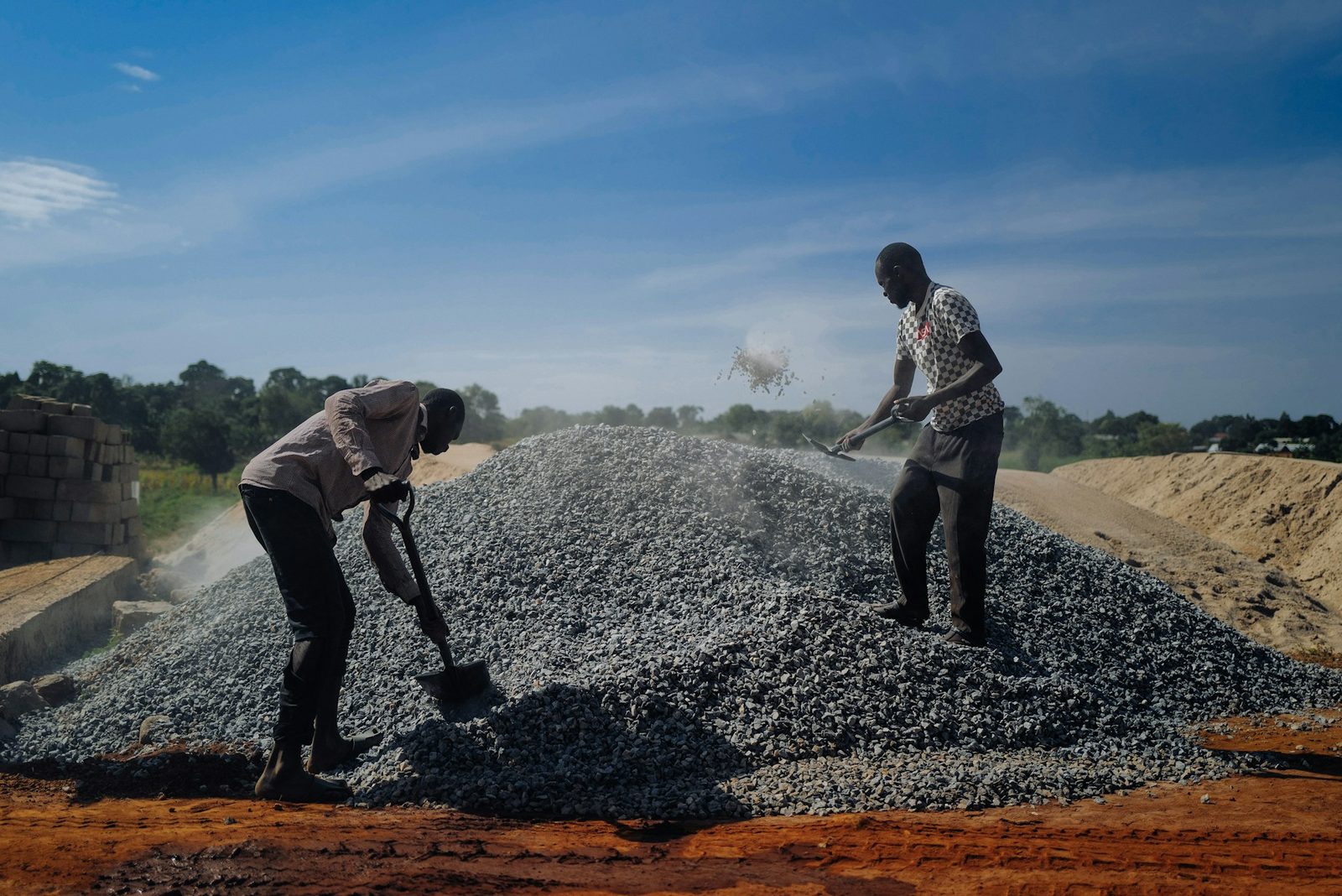
Two African workers shoveling crushed stone under a bright blue sky